
Privacy built into every pixel
Arkion’s Image Anonymization API automatically detects and blurs faces, license plates, and other personal identifiers in inspection imagery — ensuring compliance with GDPR and global data protection laws. Purpose-built for aerial and ground photography, it protects privacy without slowing down operations.


Aerial image anonymization for power grids at any scale
Process hundreds of thousands of images per day with Arkion’s GPU-accelerated anonymization engine. Designed for large inspection programs, it delivers rapid, automated compliance without interrupting your workflows.
The anonymization API is part of Arkion’s secure architecture, aligned with COBIT-5 and ISO-27001 frameworks. No image data is permanently stored, and all processing occurs within isolated, encrypted environments.

Built to ensure compliance across both people and objects
Arkion’s anonymization API supports compliance across international frameworks — ensuring your inspection data meets local and regional privacy regulations anywhere in the world. We're experienced in anonymizing a range of different objects beyond human faces.


AI models detect and blur faces, license plates, and registration numbers in aerial and ground imagery.

Optimized for drone and helicopter imagery, ensuring coverage across both transmission and distribution networks.

Images are processed in real time — no long-term storage, no manual handling.

Simple REST API for easy integration with data capture, visualization, and AMS platforms.

Full encryption in transit and at rest using AES-256 and TLS 1.2+.

Built to comply with GDPR (EU), CCPA (US-CA), LGPD (Brazil), and other international privacy standards.
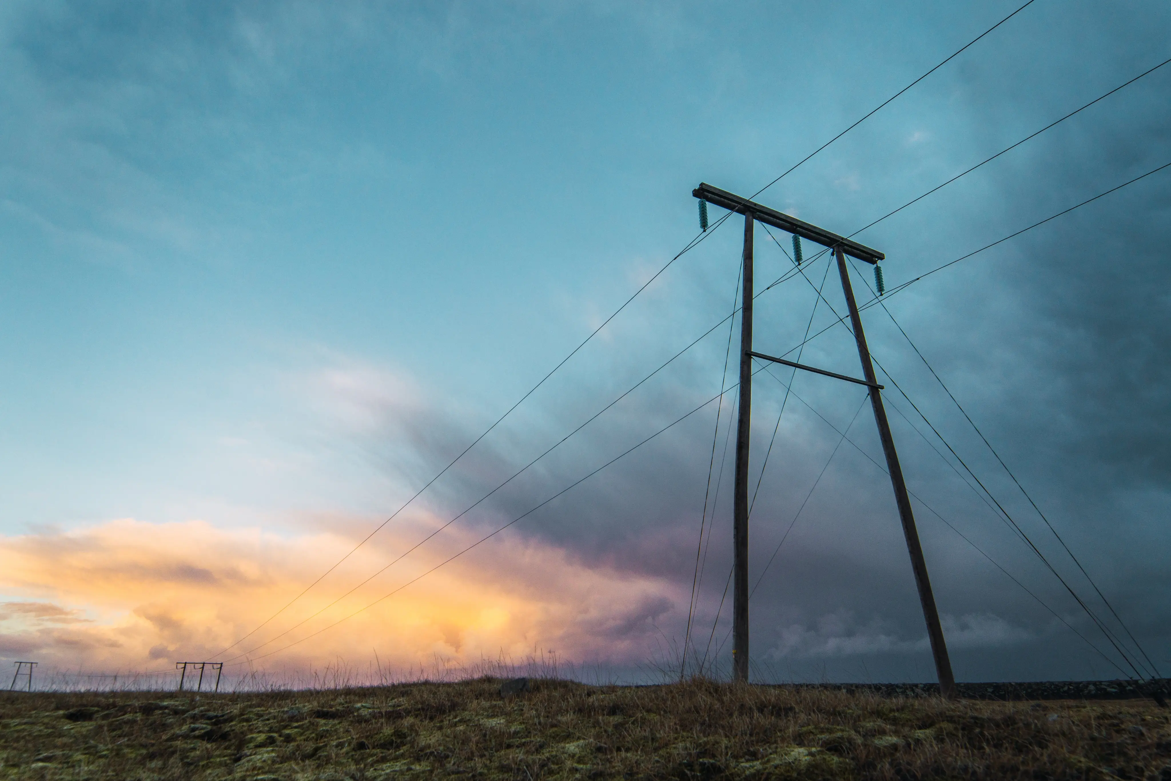
Designed for power grid inspections
Built specifically for utilities and inspection partners capturing infrastructure imagery from multiple sources.
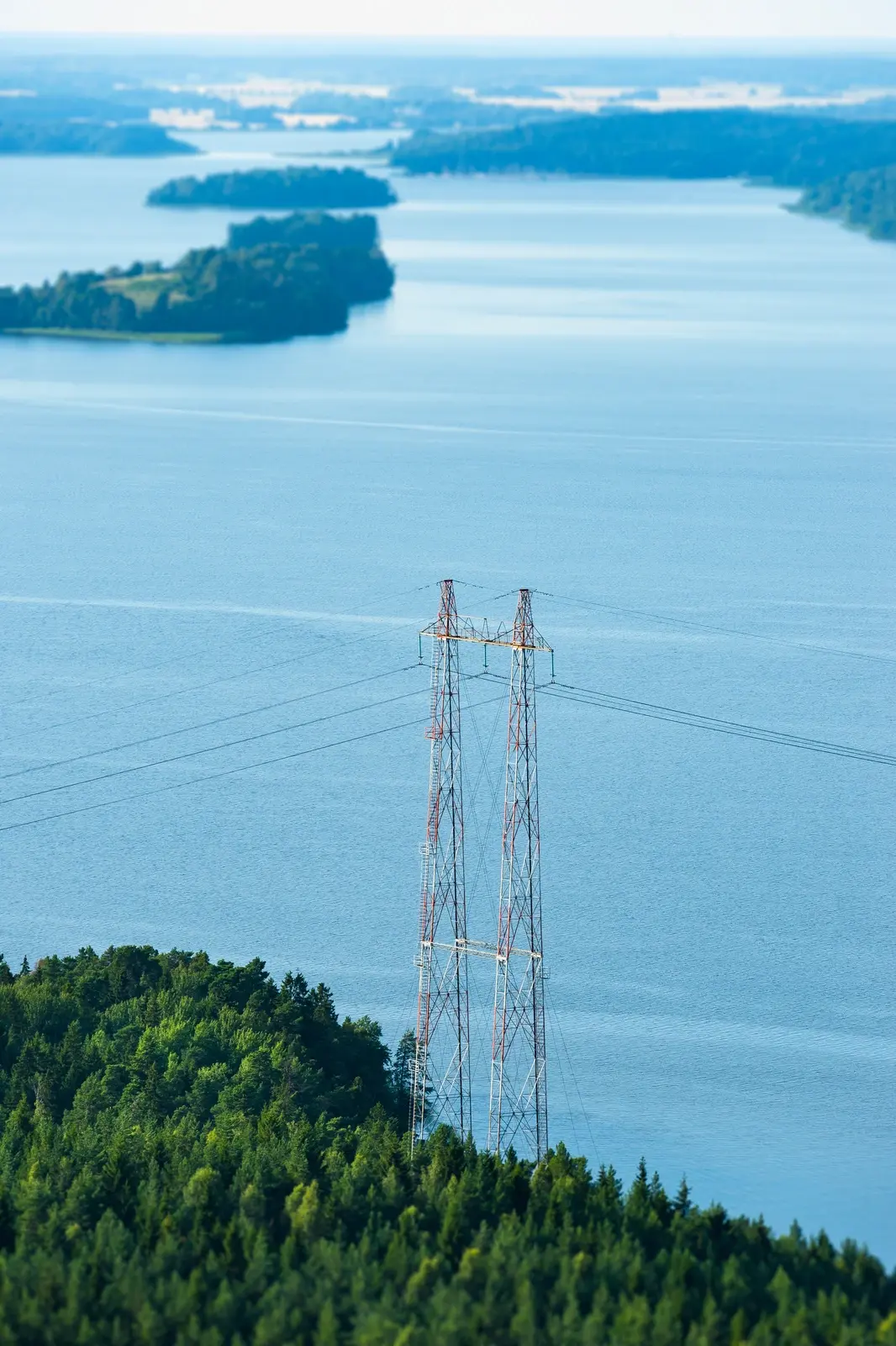
Anonymize high-altitude imagery of towers and lines.
Remove identifiers in residential or urban environments.

Process high-volume visual and thermal data securely.
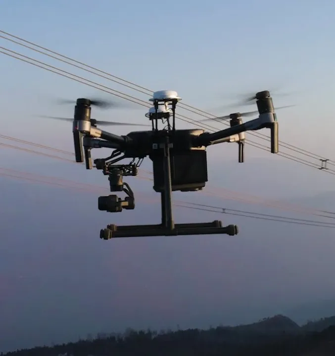
Integrate directly into flight-to-analysis workflows.
FAQ
Don’t hesitate to contact us if you have any questions

Arkion integrates with most leading Asset Management Systems (AMS), GIS, and work-order tools through a secure two-way API. Common integrations include SAP, Trimble, Maximo, and ArcGIS, among others, enabling seamless data flow between systems.
Getting started involves three simple steps: 1) Data Review – Arkion reviews your existing data for quality and compatibility. 2) Pilot Analysis – A limited-scope pilot demonstrates analysis accuracy and workflow integration. 3) Scale-Up – The solution is rolled out across your grid, with dashboards, reports, and integrations configured to your needs.
Arkion is a secure, browser-based platform. Users can log in to review data, filter insights, and plan actions through an intuitive map interface and dashboards. Results can also be exported as reports or pushed directly into enterprise systems via API.
Not usually. Arkion maintains a library of more than 100 trained models that cover common components and defect types. These can be immediately applied during onboarding. Custom development is reserved for unique equipment types or conditions outside the existing dataset.
Arkion’s platform supports all major inspection and analytics use cases, including maintenance, vegetation management, asset inventory, and post-storm assessments — across low-, medium-, and high-voltage networks. Additional models can be developed for specialized needs.
Arkion typically requires geotagged imagery or LiDAR data, along with structure metadata such as pole IDs or coordinates. Optional inputs like thermal imagery or flight logs can enhance results but are not mandatory.
Arkion supports industry-standard formats including JPEG, TIFF, PNG, and GeoTIFF for images, LAS/LAZ for LiDAR, and CSV or shapefile-based metadata. The platform can also connect directly to cloud storage or API-based data feeds for seamless ingestion.
Model retraining or fine-tuning is included in service agreements when needed to maintain performance. For new object types or regions requiring dedicated dataset development, Arkion may propose a scoped AI model development project.
Yes. Arkion’s in-house AI and electrical-engineering experts regularly develop custom models for utilities with unique assets or inspection needs. These models are integrated into the platform and benefit from Arkion’s full QA and visualization ecosystem.